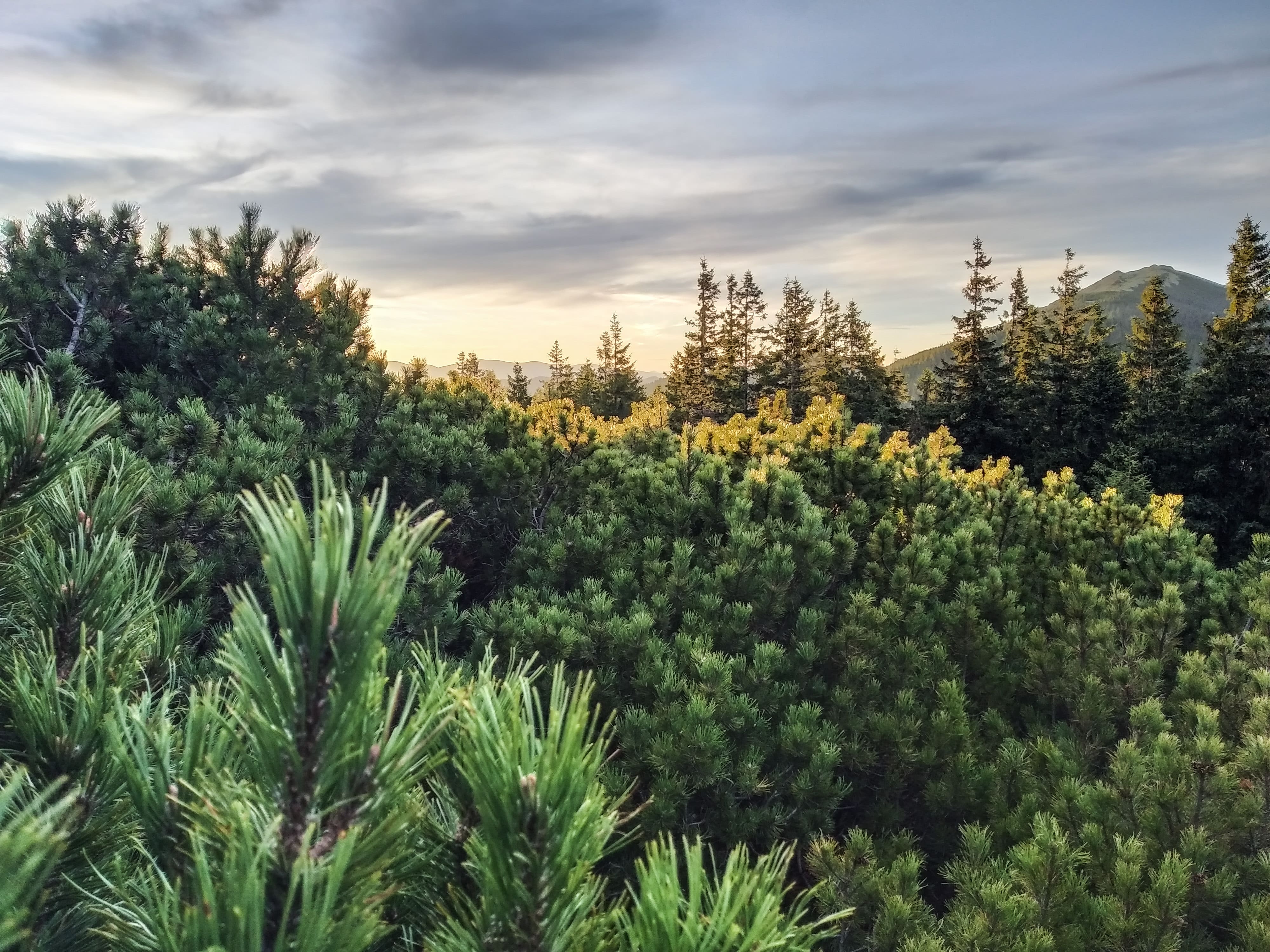
One of the most popular locations for hiking in the Carpathians is Mount Khomyak. It is climbed both as a weekend hike and as part of a multi-day trip. The height of the peak is 1542 meters. Khomyak has an interesting roof-like shape that resembles a pyramid and stands out against the background of other peaks of the Eastern Gorgany. Because of this shape, it is sometimes called the "Carpathian Pyramid of Cheops". But for the most part, people associate the name of the mountain with the presence of the alpine marmot (hamster) in the area.


For such an adventure, you need to set aside a separate day, starting the journey in the morning, because the weather often deteriorates in the mountains in the afternoon. There are 4 main routes to the top of Khomyak: green and red marked, through the Zhenetskyi Huk waterfall, or with a visit to the Malyi Gorhan and Synyak mountains. The first two options are the most recommended: they are well marked, pass through a beautiful mixed and spruce forest, have water sources, and are easier physically.
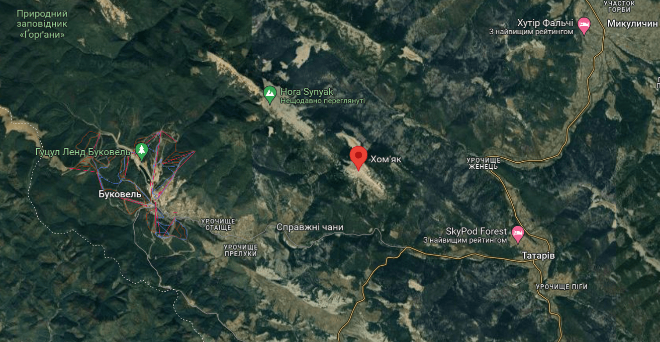
Mount Khomyak on the map of the Carpathians
The shortest and fastest route to Mount Khomyak. The path starts from the road leading to the village of Polyanytsia and Bukovel. The track starts from the checkpoint of the foresters and is about 5.5 km long, on the steepest sections it runs in a serpentine manner. If you want to reduce the time and distance and like steep ascents, you can cut the serpentine turns, thus reducing the distance by 1.5-2 km. There are places for rest along the trail and a mountain stream to quench your thirst.

It's a similar ascent option, but 2 km longer, so it takes an hour longer. Compared to the "green" route, there are several advantages of the "red" route: it is more wild, there are fewer people, and in season you can pick mushrooms and berries. It starts at the turn to the Zhenetskyi Huk waterfall from the main road, near the checkpoint of the foresters. Along the route, marked with a red marker, there are drinking water sources and benches for rest. In 500 meters from the top, the trail leads to a small meadow called Baran, where it connects with the "green" track.
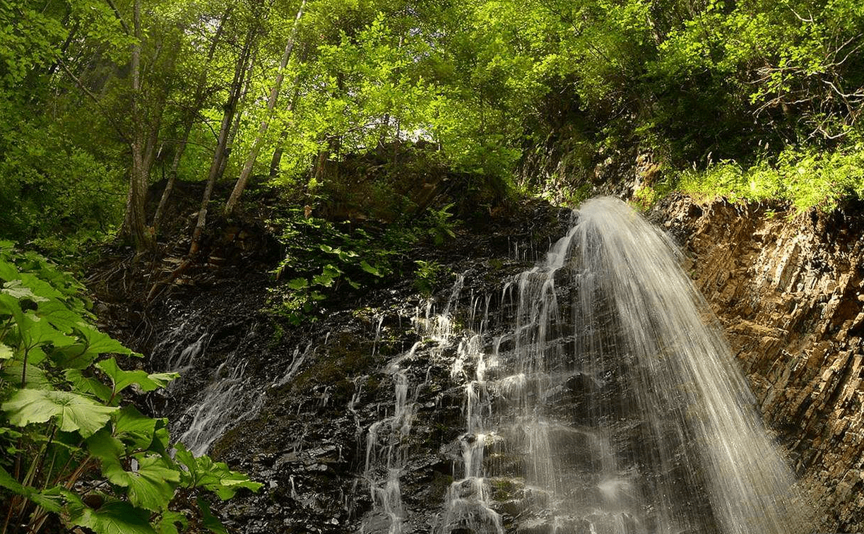
The third option is suitable if you first decide to visit the Guk waterfall and then climb to the top of Khomyak. In this case, you need to return about 1.5 km back from the waterfall along the road and turn up to the right on the path that will lead to the Khomyak meadow and then to the top. This way up the mountain is less popular because it is quite steep and physically difficult to go up or down.
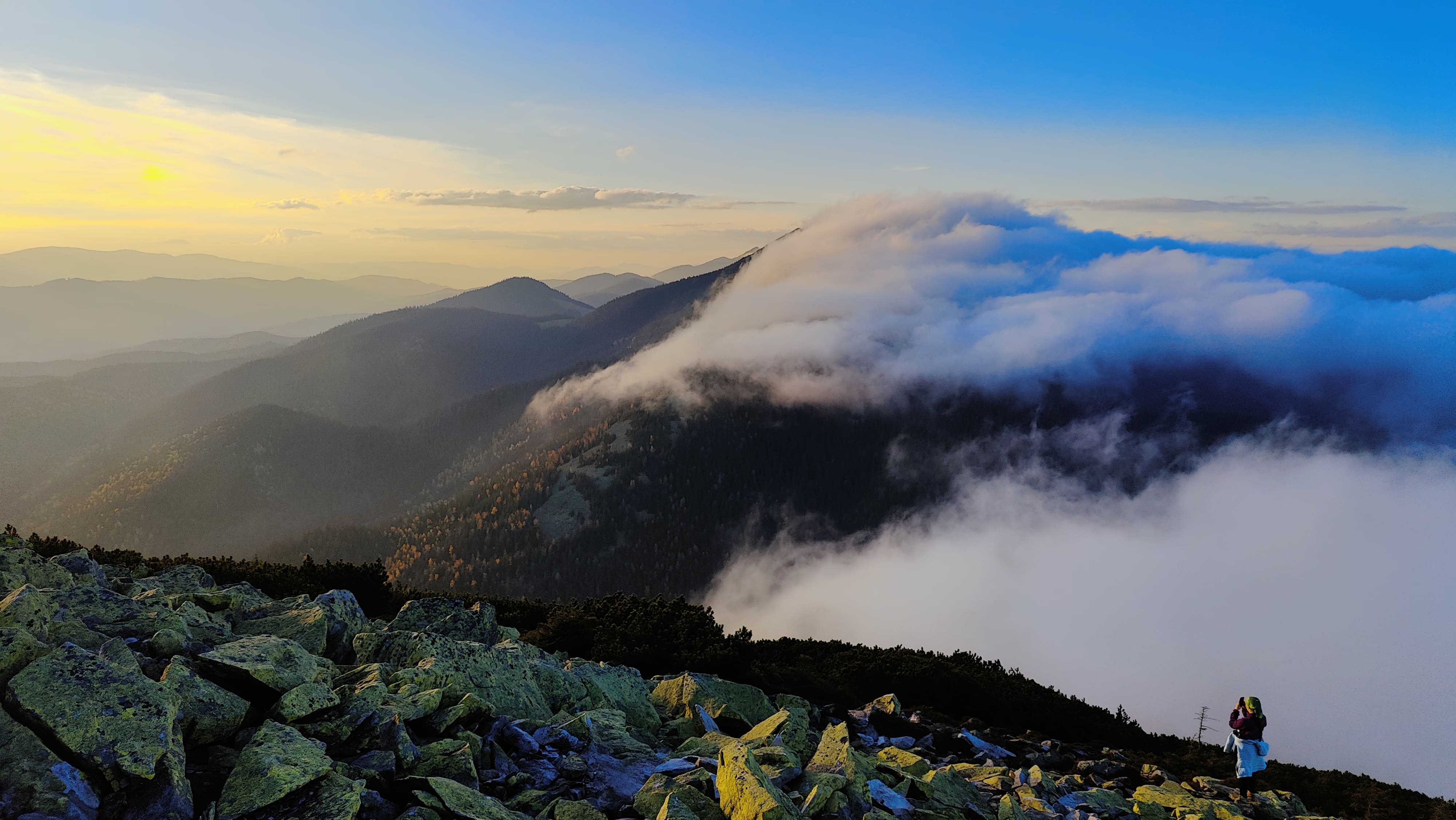
If you are hiking for several days along the route Malyi Gorgan-Sinyak-Homiak, i.e. from west to east, you will first reach the Homiak meadow and from there you can reach the top. You can also go in the opposite direction, i.e. starting from the mt. Khomyak. After the meadow, there are fewer tourists and more berries on the trail. Later on, there are stones (most of them when you pass from Synyak to Malyi Horhan). Here they are large and have bizarre shapes. But you need to be careful and wear slippery shoes, because it doesn't take long to get injured among these stone piles. There are marked trails from the tops of Synyak and Malyi Gorgan to the south, in the direction of Bukovel. It is best to camp on the Khomyakiv and Blazhiv meadows.
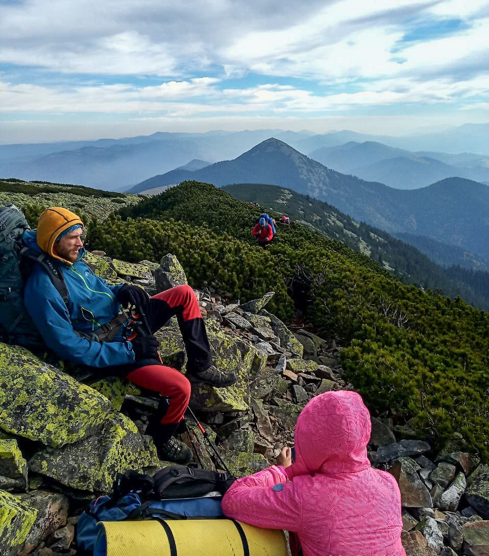
Summer season. From May to October, hiking in good weather will not be difficult. But you need to remember that the weather in the mountains is changeable, and the last 400 meters of the trail passes over stones and through overgrowth, requiring careful movement. You should be especially careful in the rain, as the stones become quite slippery.

For a one-day hike in the warm season, we recommend the following equipment: a small backpack, a cell phone, a flashlight, a small knife and matches/lighter just in case, a personal first aid kit (bandages, plasters, painkillers, etc.) and a sleeping bag. You will also need a water bottle of about 1 liter and a snack (sandwiches, candy bars). You can take light and comfortable pants, a T-shirt, a windbreaker, a fleece sweater (in case of cool weather), a cap or panama hat, a raincoat, comfortable and durable hiking shoes.
Mount Khomyak in winter. From December to early April, climbing to the top can be difficult, so it is only for prepared people with hiking experience. Tourists can expect: low temperatures, strong winds, thick fogs that make it difficult to navigate, and deep snow is very physically exhausting.
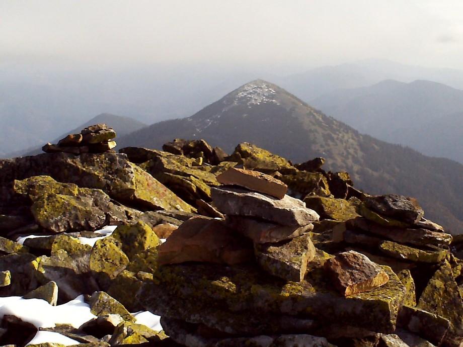
In addition, after heavy snowfalls, there is a significant avalanche hazard on certain parts of the mountain. Therefore, for a safe climb to Khomyak, it is better to use the services of an experienced team leader and guide. You will also need the appropriate clothing and equipment for the route: membrane jacket and pants, warm and waterproof shoes, down jacket, balaclava, ski mask, trekking poles, sometimes snowshoes or crampons, GPS navigator, thermos with tea, etc.

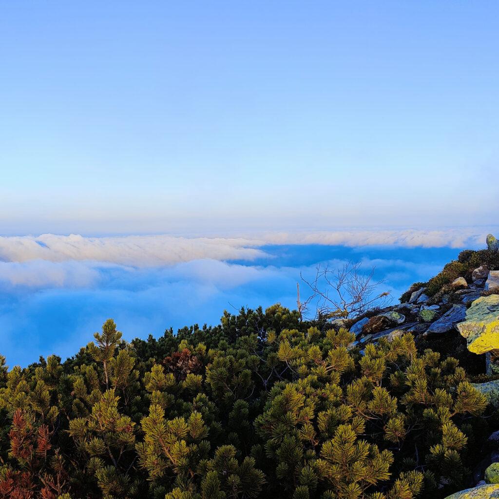
In addition to all these advantages of Khomyak Peak, there is one more - it has picturesque and breathtaking views around! To the north is the Yavirnyk ridge, to the east is the Lisniv ridge, to the west are the Sinyak and Dovbushanka peaks, and to the southeast you will see the Chornohora ridge with the highest mountains in Ukraine. At the very top of Khomyak, on a large stone elevation, there is a statue of the Virgin Mary - Madonna.
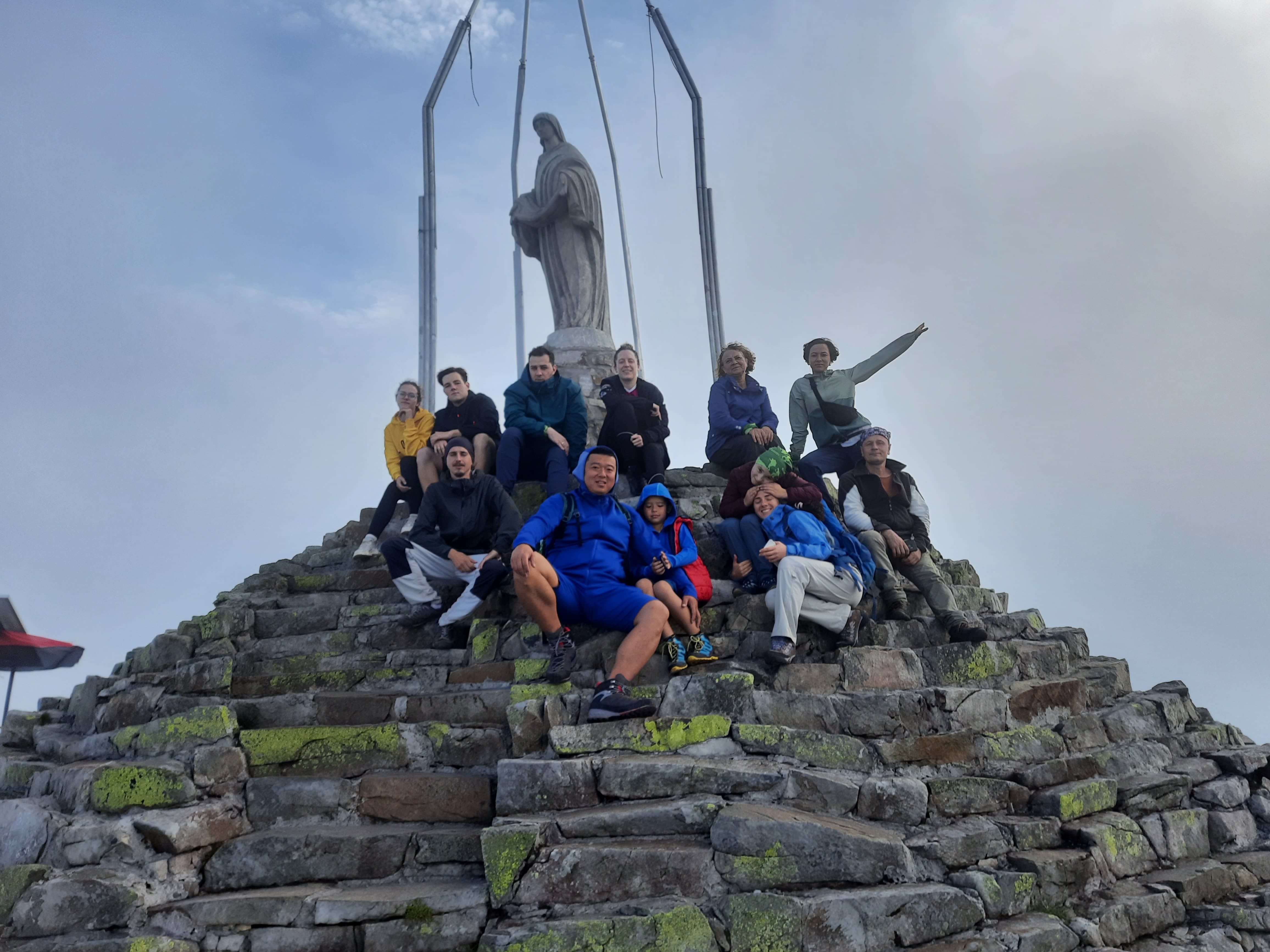
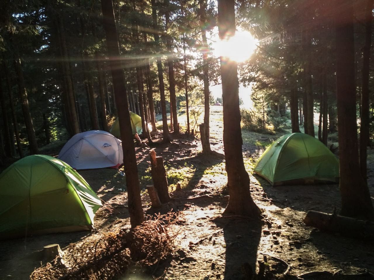
We are very fond of this destination, so we are very pleased to offer a short hike with tents along the main ridge of the Eastern Gorgany. You will climb 3 peaks in 3 days - Khomyak, Sinyak, Maly Gorgan.
Join us - it will be interesting:

Every tourist planning a new hike faces a lot of questions. So let's try to answer the most common ones.
- For your convenience, let us remind you where Mount Khomyak is located and how to get there
Location: the Ukrainian Carpathians, Eastern Gorgany region, near the settlements of Tatariv and Polianytsia.
If you are traveling by car, there is a good road from Frankivsk through Nadvirna and Yaremche. Mount Khomyak is quite popular, so you can ask the locals for tips. Another option is to arrive by train to Tatariv and from there take a bus or taxi to get to the beginning of one of the tracks.
- How do I get to Mount Khomyak and how long does it take to get there?
As already mentioned, there are shorter and longer ways to the top, easier and more difficult. The fastest is the route marked in green, which starts near the turn to the Bukovel ski resort. How long you walk depends on your physical fitness and your mood to take pictures of the surrounding beauty. However, on average, the ascent lasts 3-4 hours on the "green" and 4-5 hours on the "red" trail.
- How many kilometers do you need to walk?
The length of the routes to Mount Khomyak is 5.5-7 km. However, you need to take into account the height gain, which will be about 700 meters.
- What's the best time to go? When is it least likely to rain?
After the winter, the trails are free of snow around mid- to late May, so you can plan your trip from then on. As a rule, June and July are the rainiest months, while in August-October the amount of precipitation gradually decreases, as does the daytime temperature. In general, under favorable weather conditions, you can climb the mountain in early November. But in any case, you should check the weather forecast before going.
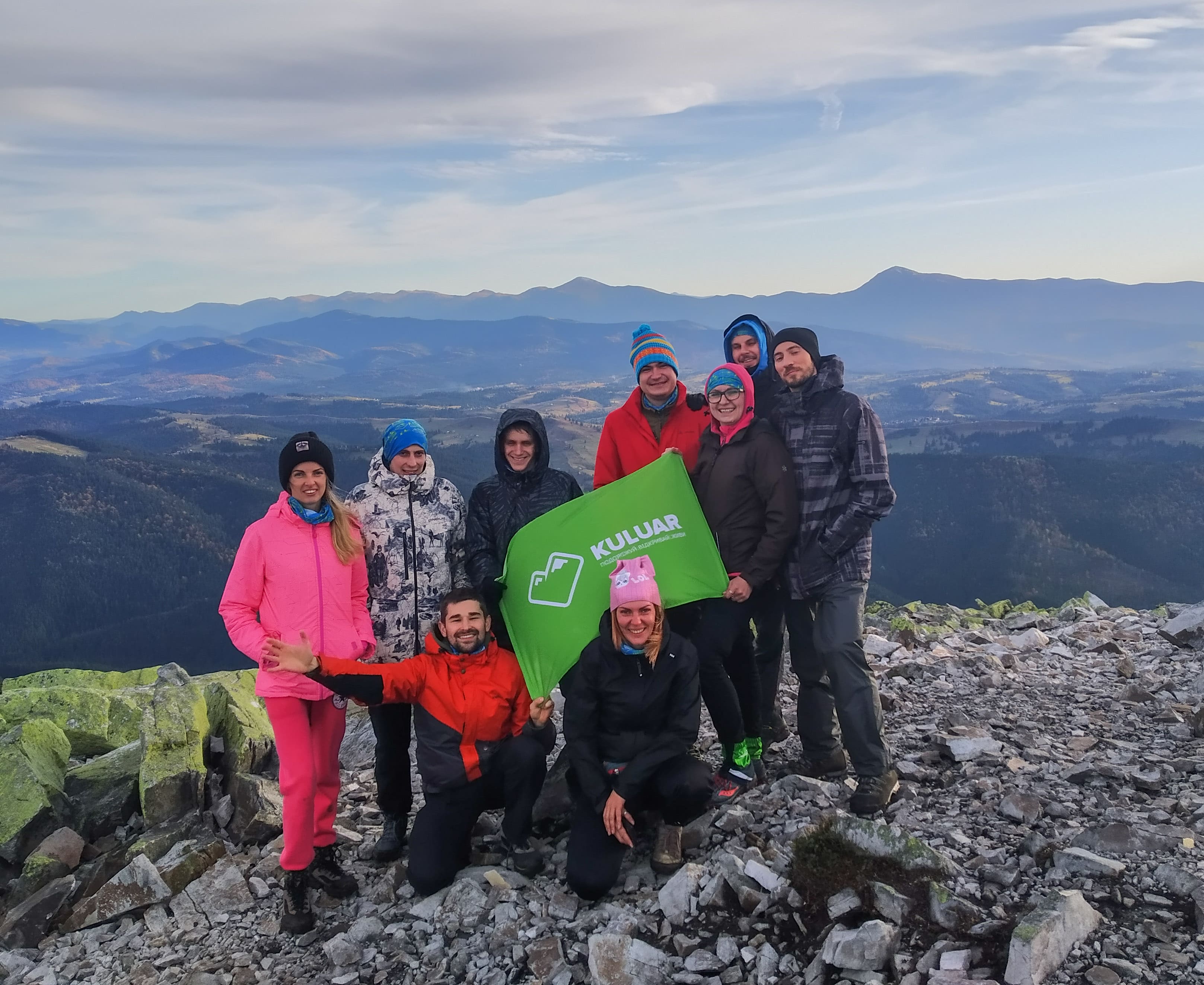
Every trip, especially in the mountains, among the wildlife, changes a person and changes for the better. Being in one place, we read only one page of this wonderful and interesting world. You will come back home from the hike as a different person. To make people happier by opening the world of the Mountains to them is the motto of the Kuluar Hiking Club.
Video report from the hike to Khomyak and Synyak

